Search

Leave a Message

By providing your contact information to Falcone Real, your personal information will be processed in accordance with Falcone Real's Privacy Policy. By checking the box(es) below, you consent to receive communications regarding your real estate inquiries and related marketing and promotional updates in the manner selected by you. For SMS text messages, message frequency varies. Message and data rates may apply. You may opt out of receiving further communications from Falcone Real at any time. To opt out of receiving SMS text messages, reply STOP to unsubscribe.

Thank you for your message. I will be in touch with you shortly.

Browse Properties
What Car-Light Living In Tysons Really Looks Like

What Car-Light Living In Tysons Really Looks Like

Could you live in Tysons without relying on two cars in the driveway? If you want the convenience of urban living with the space and amenities Northern Virginia offers, Tysons can deliver a workable car-light lifestyle in the right spots. In this guide, you’ll learn where car-light life actually works, what a typical day looks like, and what still requires wheels. You’ll also get a simple checklist to help you choose the right building and block. Let’s dive in.

Why Tysons fits car-light living

Fairfax County has a clear vision for Tysons as a walkable, mixed-use urban center anchored by Metro. The county’s Tysons Comprehensive Plan frames Tysons as the area’s future downtown, concentrating homes, offices, and retail within a half mile of the Silver Line. It targets roughly 100,000 residents and 200,000 jobs by 2050, supported by upgraded sidewalks, crossings, and bike and pedestrian projects. You can review the county’s direction in the Tysons Comprehensive Plan for the big picture and ongoing priorities.

The transformation is happening site by site, so you will see a mix of new, pedestrian-friendly blocks and older, auto-oriented streets. The most car-light-friendly experiences cluster closest to the four Silver Line stations, where new apartments, retail, and entertainment are rising. If you choose a station-adjacent address, many daily needs shift from “drive” to “walk, bike, or train.”

Fairfax County’s plan for Tysons

Silver Line and buses: your backbone

Tysons is served by four Silver Line stations: McLean, Tysons (often called Tysons Corner), Greensboro, and Spring Hill. These stops anchor higher-density, mixed-use neighborhoods and are the core of a car-light routine. You can confirm station locations and how the line fits into the broader network on the Dulles Metrorail page.

Typical rail trips to central DC vary based on your origin and time of day. Many riders report 25 to 35 minutes from Tysons-area stations to core downtown stations, with some variation for transfers and headways. For specific times, check a trip planner before you go.

Local buses reinforce the network. Fairfax Connector routes, including Tysons circulators, provide first and last mile connections to stations and help reach pockets not immediately on rail. These routes, combined with short walks or micromobility, expand your car-light reach across Tysons.

Micromobility and first/last mile options

Short trips are where Tysons shines. The Tysons “Get Around” guide documents 20+ Capital Bikeshare stations, along with docked and dockless scooters, which are ideal for the final half mile to your office or grocery run. They also smooth out awkward gaps between buildings and help you avoid busy arterials when practical. If you need a car occasionally, car-share and ride-hail services operate throughout the area, which can replace the need to own a second vehicle.

Where car-light life is easiest

Car-light living is most practical inside a few walkable, mixed-use hubs. If you focus your home search here, you set yourself up for short, simple trips.

The Boro around Greensboro

This district delivers high-density convenience with a flagship Whole Foods, restaurants, a ShowPlace ICON cinema, and frequent community programming at Boro Park. From a nearby apartment, you can walk to groceries, dinner, and a movie in minutes, then hop the Silver Line at Greensboro for a stress-free commute. It is one of Tysons’ most complete, pedestrian-friendly nodes.

Tysons Corner Center and Tysons Galleria

If your home base is near the Tysons station, you have two major malls within easy reach. Between Tysons Corner Center and Tysons Galleria, you can handle everyday shopping, dining, and services in one walkable loop. The elevated plaza by the station doubles as a civic space, so you can run errands and meet friends without moving the car.

Capital One Center, McLean station, and Scotts Run

On Tysons’ east side, Capital One Center brings Wegmans, restaurants, and a performing arts venue at Capital One Hall, all close to the McLean station. The nearby Scotts Run redevelopment adds new residential towers and retail, expanding the walkable footprint. For many residents here, dinner, a show, and your weekly grocery run are all a short walk or quick bike ride away.

Day-to-day scenarios that work

Here are a few realistic routines that show how car-light life plays out once you pick the right address.

If you work in Tysons

  • Morning: Walk 5 to 10 minutes to your office near Greensboro or Tysons station.
  • Lunch: Meet a colleague at The Boro or the Tysons food hall.
  • Errands: Grab groceries at Whole Foods or a pharmacy on your way home.
  • Evening: Catch a movie or a local event, then walk back. Your car stays parked most weekdays.

If you commute into DC

  • Morning: Walk to Tysons or McLean station and ride the Silver Line to a core DC stop. Many trips fall in the 25 to 35 minute range, depending on time and transfers.
  • After work: Metro back to Tysons. If it is late or off-peak, rideshare can be a useful supplement.
  • Weekends: Use bikeshare or scooters for short hops around town.

If you are downsizing

  • Home base: Choose a newer tower in The Boro or Tysons station area with on-site fitness and package rooms.
  • Groceries: Walk to Whole Foods or Wegmans for weekly shopping.
  • Leisure: Walk to Capital One Hall for a show or try a new restaurant nearby.
  • Flexibility: Keep one car or rely on car-share for larger errands or out-of-area appointments.

What still requires wheels

Tysons is improving, but it is not fully urban everywhere. Major arterials like Route 7 and Route 123 can be busy, and sidewalk or bike connectivity is still inconsistent away from station cores. Expect to use a car or rideshare for bulk shopping, medical appointments outside Tysons, or trips that cross the Beltway awkwardly. Local reporting has highlighted these challenges, and the county is working on targeted upgrades over time.

How to choose a car-light address

Use this quick checklist to stack the odds in your favor when you tour buildings and neighborhoods in Tysons.

  • Station proximity: Aim for a 5 to 12 minute walk to McLean, Tysons, Greensboro, or Spring Hill. Shorter is better.
  • Grocery within a 10 minute walk: Whole Foods at The Boro and Wegmans at Capital One Center are strongest anchors.
  • Micromobility access: Look for a Capital Bikeshare dock or scooter availability near your lobby. Check the Tysons Get Around map.
  • Bus backup: A nearby Fairfax Connector stop adds reliability, especially for off-peak trips.
  • Safe routes: Prioritize blocks with protected crossings, new sidewalks, and internal street grids over highway-facing front doors.
  • On-site conveniences: Package rooms, dry cleaning pickup, and service-focused concierges reduce errand miles.
  • Occasional car plan: Car-share nearby or a building garage spot can cover Ikea runs and weekend getaways.

What is changing next

Several active and proposed projects will shape car-light living in the near term.

  • Capital One Center continues to grow, adding more food, retail, and entertainment near McLean station. This cluster already improves walkable access for nearby residents.
  • Scotts Run is delivering new residential towers and ground-floor retail close to McLean station, expanding the number of homes within walking distance of transit.
  • The conceptual Piazza at Tysons near Spring Hill would convert auto-oriented parcels into a transit-adjacent, mixed-use neighborhood if it proceeds. Timelines remain subject to approvals and market conditions, so check for updates before you plan around it.

Stay current on construction status, service changes, and new openings by checking county implementation pages and project updates.

Bottom line

You can live car-light in Tysons today if you choose a station-adjacent address in one of the newer mixed-use hubs. The Silver Line, Fairfax Connector, and plentiful micromobility options make most weekday trips simple. Groceries, dining, and entertainment cluster in walkable pockets like The Boro, Tysons Corner, and Capital One Center. Outside those pockets, you should plan for occasional rideshare or a single household car.

If you are weighing buildings, comparing hubs, or deciding whether to keep a second car, a local, data-aware perspective helps. For personalized guidance on the best Tysons addresses for a car-light lifestyle, connect with Falcone Real. We will help you align the right building, commute, and amenities with your daily routine.

FAQs

Is a car-free lifestyle realistic in Tysons?

  • Yes, in station-adjacent pockets like The Boro, Tysons Corner, Capital One Center, and Scotts Run; outside these hubs, expect to keep a car for some trips.

How long does the Silver Line take to DC from Tysons?

  • Many central DC trips fall in the 25 to 35 minute range from Tysons-area stations, depending on origin, transfers, and time of day.

Which Tysons areas work best without a car?

  • The Boro near Greensboro, the Tysons Corner Center and Galleria area, and the McLean-side hubs around Capital One Center and Scotts Run are the most walkable.

Are groceries walkable in Tysons?

  • Yes, Whole Foods at The Boro and Wegmans at Capital One Center are primary walkable anchors, with additional shopping and services near the Tysons malls.

What are the main challenges to walking and biking in Tysons?

  • Busy arterial crossings and some gaps in sidewalk and bike networks away from station cores can make certain routes feel less comfortable.

What if I only need a car sometimes?

  • Plan to use rideshare or car-share for bulk errands, off-peak trips, and regional outings while relying on Metro, buses, and micromobility day to day.
Living & Working in McLean, VA: Pros & Cons (Local Guide)
Michael Falcone headshot placeholder
By Michael Falcone • Updated Aug 18, 2025
HomeGuidesMcLean, VA
Local Guide

Living & Working in McLean, VA: The Real Pros & Cons

Reading time: 8–10 mins Region: McLean, Tysons, Great Falls corridor
Tree‑lined street and elegant homes in McLean, VA (placeholder)

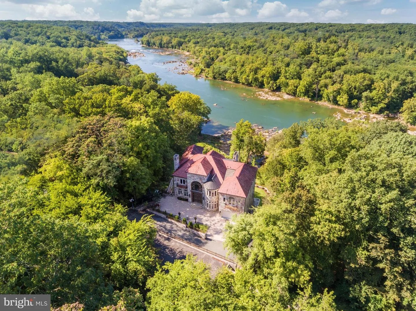
McLean blends quiet, tree‑canopied neighborhoods with fast access to Tysons, DC, and the George Washington Parkway. It’s where privacy and proximity meet—if you know which streets to target.

Pros (Why people choose McLean)

  • Proximity without the city noise. Minutes to Tysons, 15–25 minutes to DC in off‑peak via GW Parkway; quick access to I‑495, Route 123, and Route 7.
  • Top‑tier public schools. Many neighborhoods feed into highly rated FCPS pyramids; competitive private options nearby.
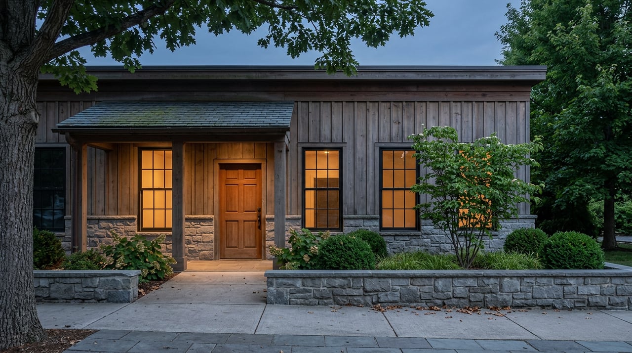
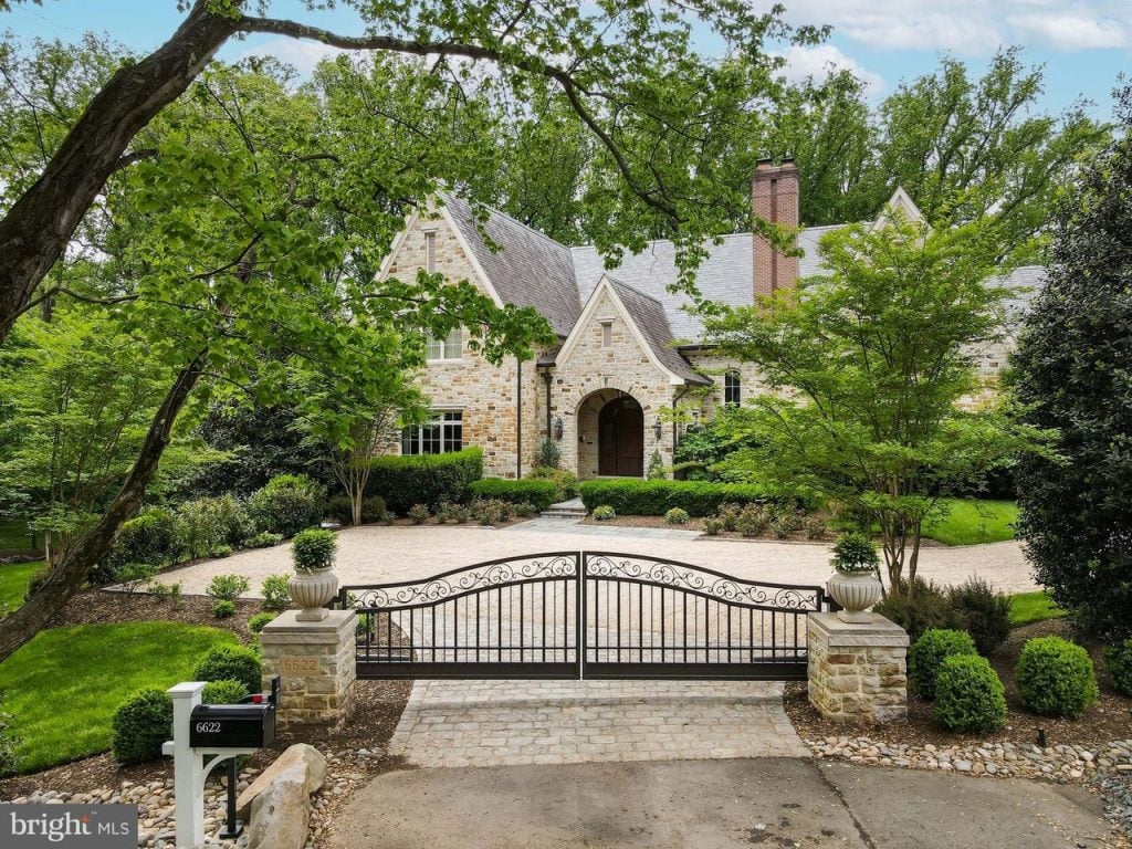
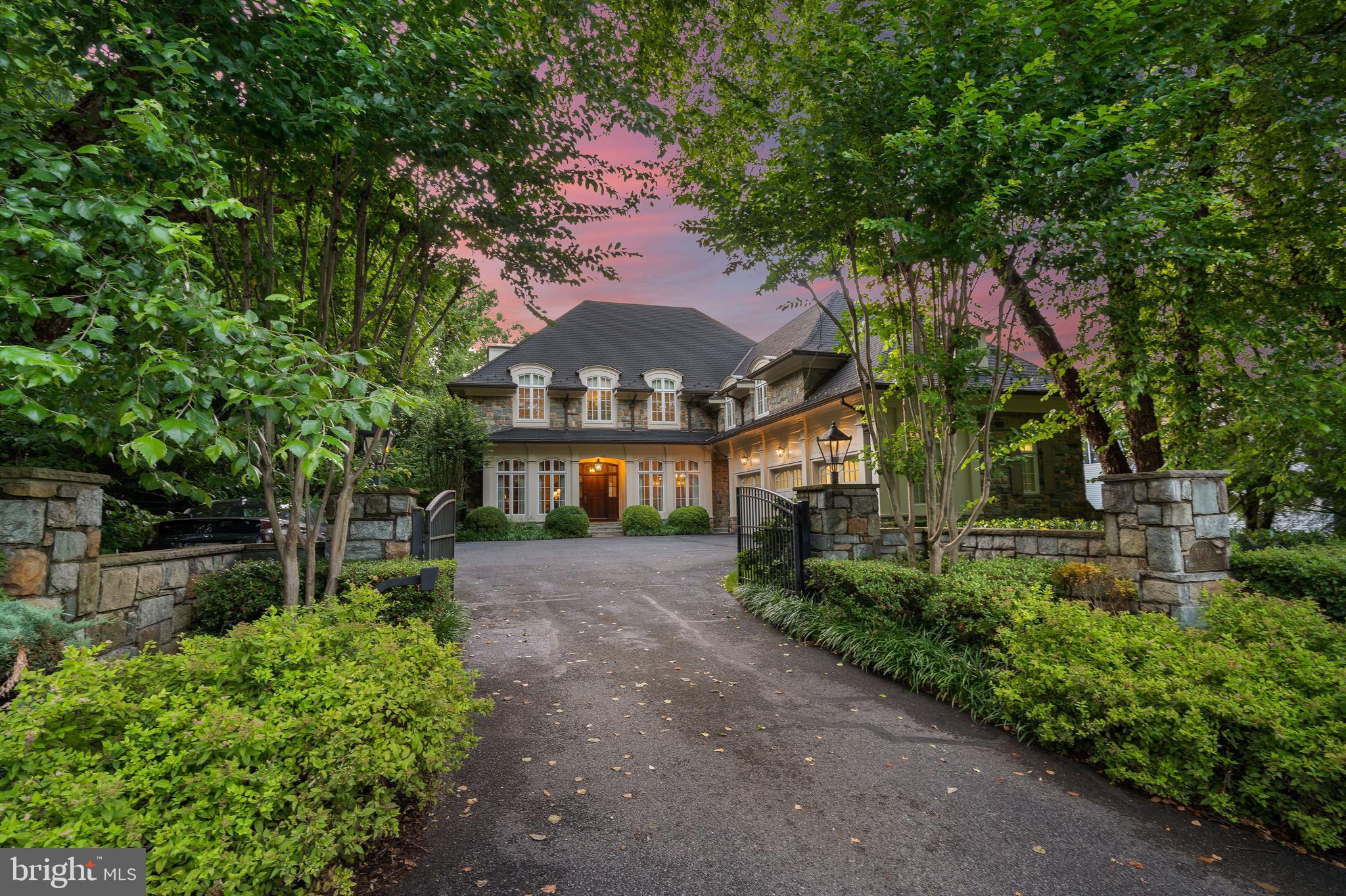
  • Lot size & privacy. Mature trees, larger lots than Arlington or Alexandria; pockets with estate‑style settings.
  • Safety & prestige. Quiet streets, well‑kept homes, and a refined, low‑key feel.
  • Outdoor access. Great Falls Park, Scott’s Run, and Langley Oaks trails are weekend staples.
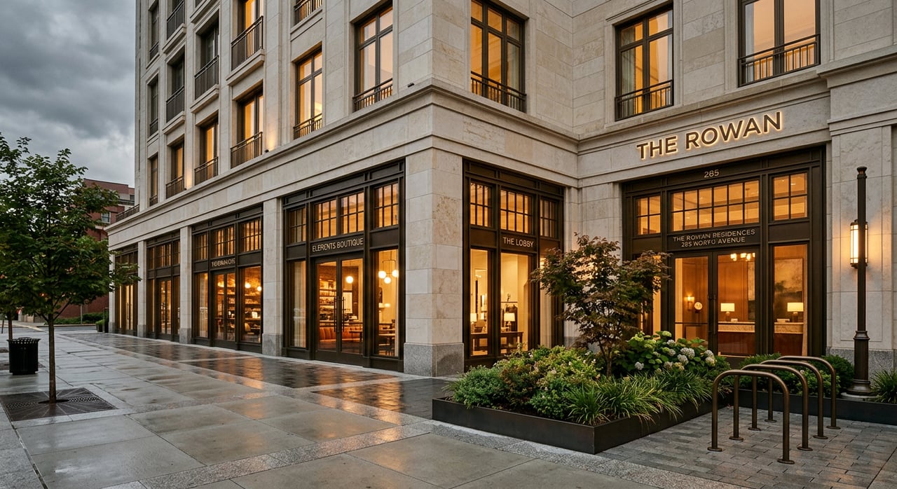
  • Dining & retail upgrades. Tysons Corner Center, Tysons Galleria, and a growing fine‑dining scene within a 10‑minute radius.

Cons (The trade‑offs)

  • Peak‑hour traffic. GW Parkway, Chain Bridge, Route 123, and Route 7 bottlenecks can add significant time.
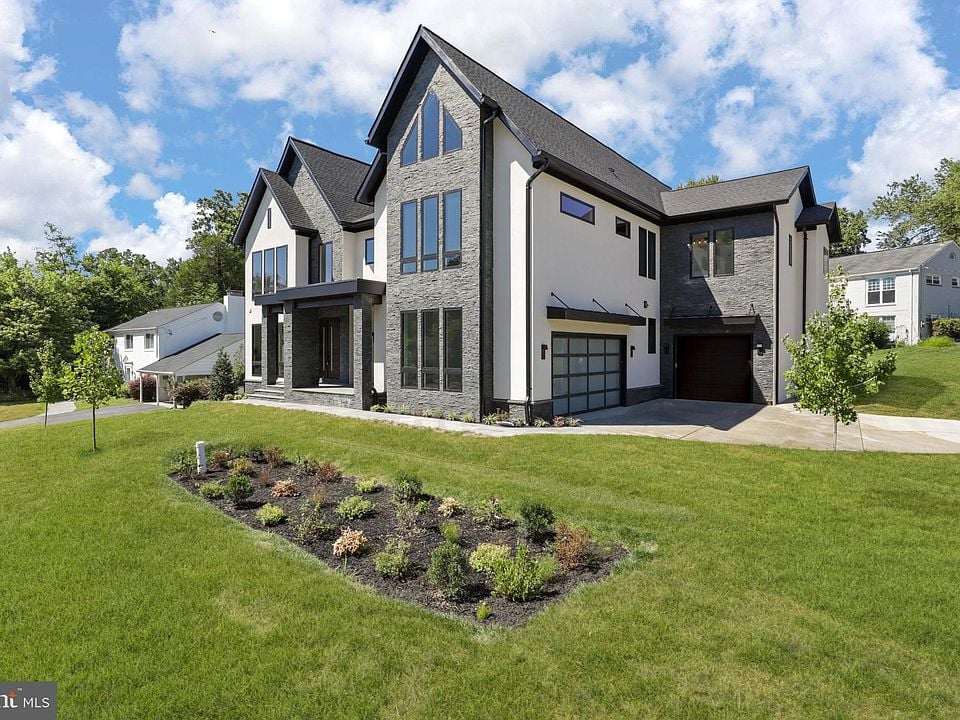
  • Price point. Premium land values; new builds and renovated homes command high multiples.
  • Walkability varies. Some pockets are car‑dependent; sidewalks aren’t universal on interior streets.
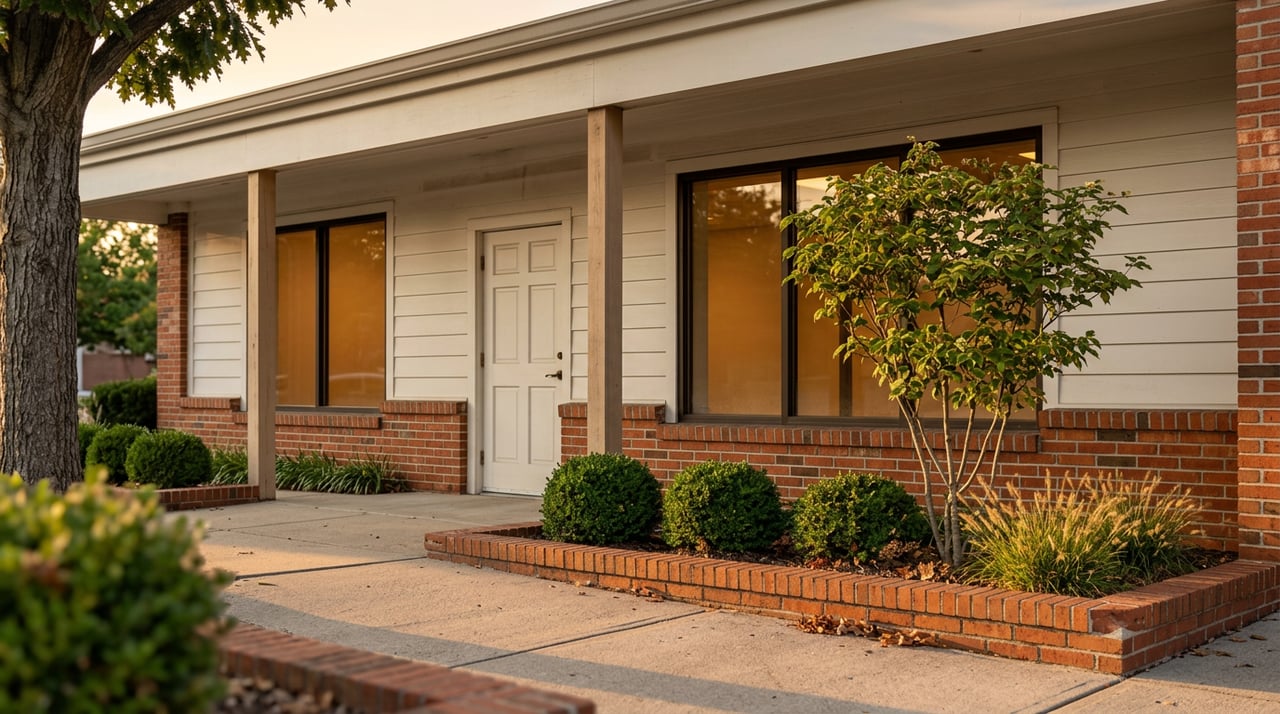
  • Older housing stock in core McLean. Many 1960s–1980s homes need updates; tear‑down activity is common.
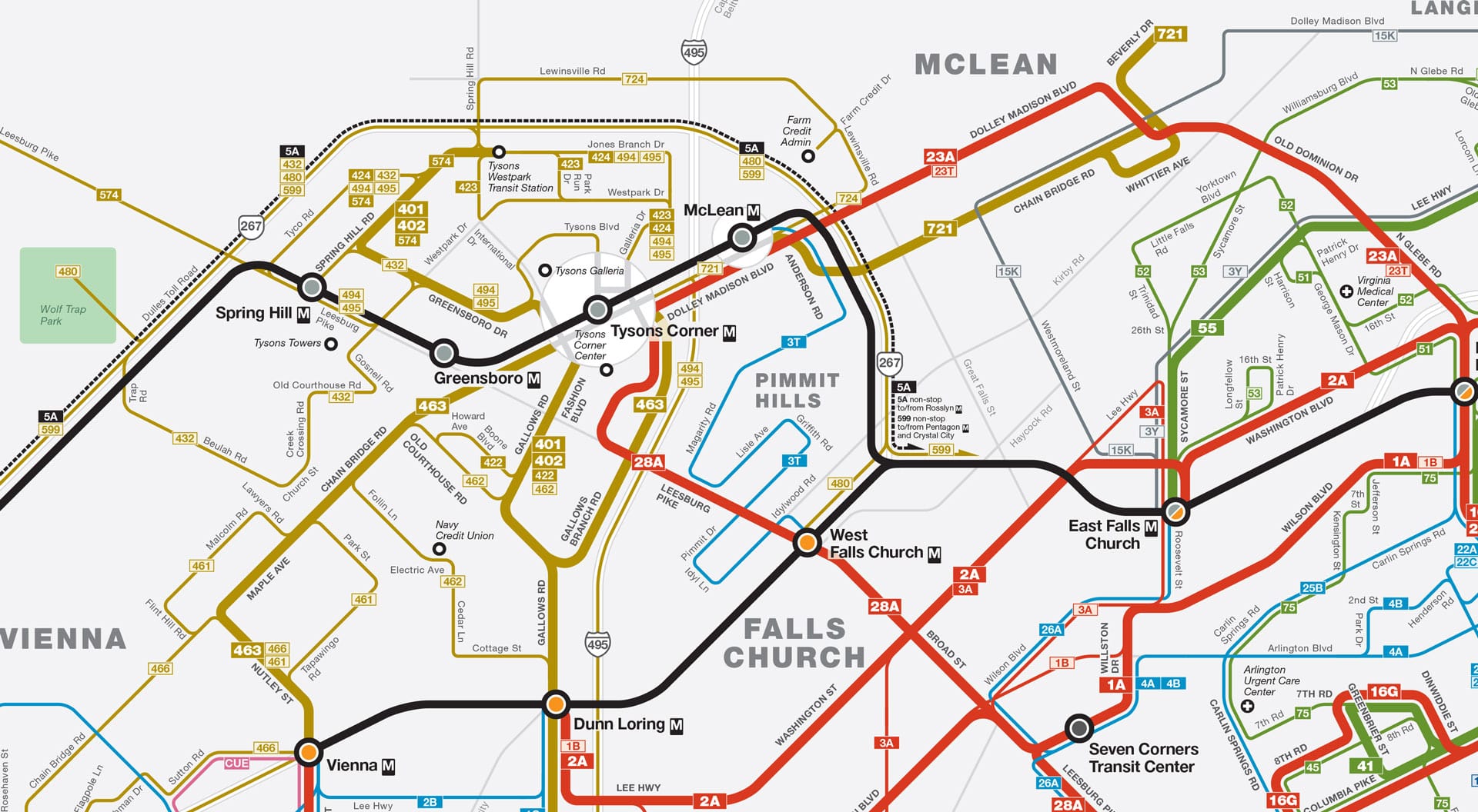
  • Metro access is nearby—but not everywhere. Silver Line stations sit mainly in Tysons; plan for a short drive or bike unless you’re very close to the McLean station area.
Local note: If your commute depends on Chain Bridge or the GW Parkway, your exact street matters. Two similar addresses can mean a 10‑ to 20‑minute difference during peak.

Neighborhood snapshots (insider quick‑takes)

Langley area streetscape (placeholder)

Langley / Chain Bridge Road Estate lots

Leafy, quiet, and close to GW Parkway. Popular for privacy, proximity to DC, and access to scenic trails.

West McLean sidewalk scene (placeholder)

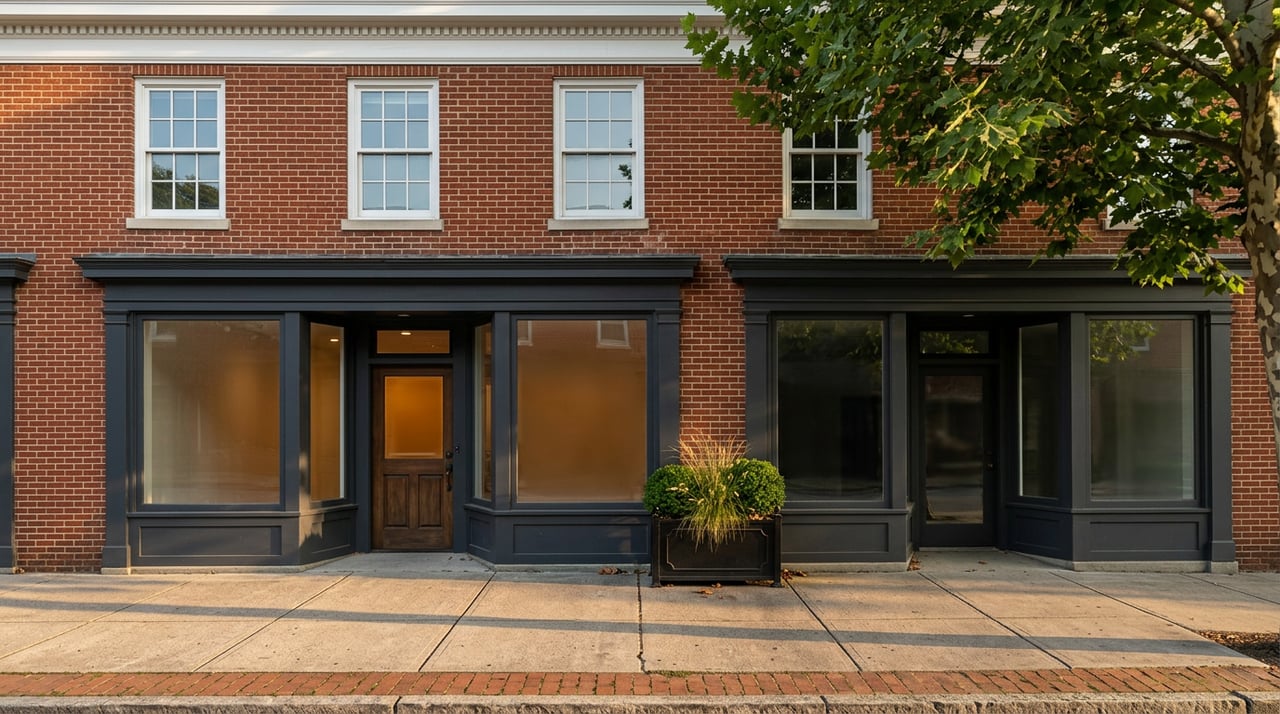
West McLean Convenience

Near central McLean shops and dining; mix of renovated ramblers and new builds. Sidewalk coverage is better here.

Salona Village home (placeholder)

Salona Village Walkable pockets

Coveted for proximity to downtown McLean and parks; premium for updated homes on larger lots.

Lewinsville area (placeholder)

Lewinsville / Chesterbrook School focus

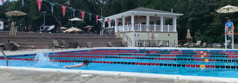
Streets with a neighborhood feel, strong school pyramids, a CLub and Pool, and quick access toward Tysons and Arlington.

Tysons fringe townhomes (placeholder)

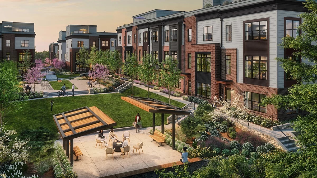
Tysons Fringe Urban access

Townhomes and newer builds within a short hop to Silver Line stations and luxury retail.

River Oaks area (placeholder)

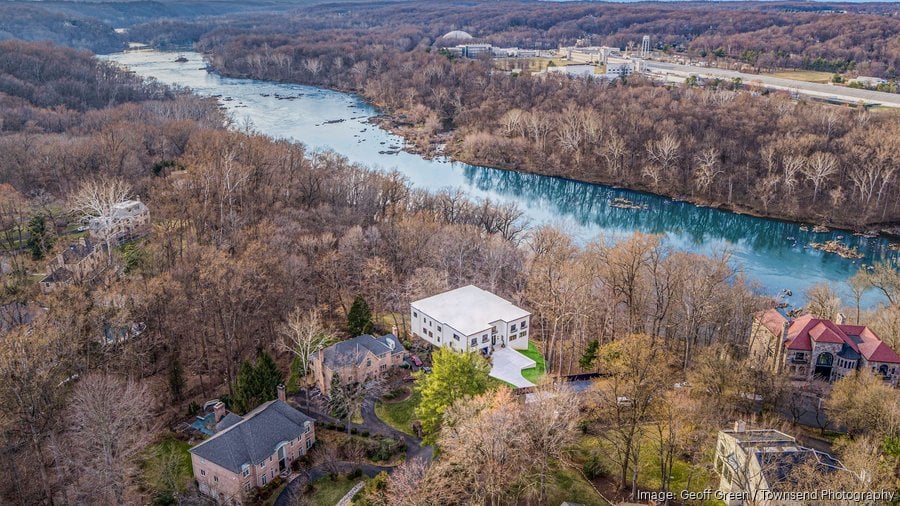
River Oaks / Potomac side Scenic

Near Scott’s Run and the river; serene streets and a nature‑first vibe. Limited retail—by design.

Commute & transit

  • Fast routes off‑peak: GW Parkway to DC (Chain Bridge/Memorial Bridge), I‑495 to Maryland or Dulles tech corridor.
  • Metro (Silver Line): Stations at McLean, Tysons Corner, Greensboro, Spring Hill. Most McLean addresses are a short drive or bike away.
  • Peak tips: Depart before 7:15am or after 9:15am for DC‑bound trips; in the evening, watch Route 7/123 merges near Tysons.
  • Airport access: DCA via GW Parkway; IAD via Dulles Toll Road or I‑495 express lanes.
Simplified commute map: McLean to DC, Tysons, airports (placeholder)

Schools (public & private)

Many McLean neighborhoods feed into sought‑after Fairfax County Public Schools pyramids. Several respected private schools are within a 15–25 minute radius. Admissions and boundaries change—verify for your specific address.

Local check: Before you bid, plug the address into the FCPS boundary tool and call the school office to confirm future‑year assignments.

Lifestyle: dining, parks & weekends

  • Dining: Elevated options cluster in Tysons Galleria and along Route 123/7; downtown McLean offers neighborhood favorites and low‑key gems.
  • Parks & trails: Great Falls Park, Scott’s Run Nature Preserve, Clemyjontri Park, and Langley Oaks. Many streets back to parkland—ask about trail cut‑throughs.
  • Retail: Luxury shopping at Tysons Galleria; everyday errands in central McLean. Expect ongoing enhancements along the Tysons corridor.

Costs & housing types

McLean skews higher than neighboring markets due to land value and lot sizes. You’ll find:

  • Renovated 1960s–80s colonials and ramblers on established streets.
  • New‑build luxury homes and curated infill projects (tear‑downs common).
  • Townhomes and condos closer to Tysons for a lower‑maintenance lifestyle.
Buyer tip: Premiums track lot characteristics: usable rear yard, tree canopy, topography, and street quietness. Two similar homes can appraise differently based on these subtleties.

Agent tips (street‑level insights)

  • Mind the cut‑throughs. Some streets feel busier during school drop‑off/commute windows; tour at those exact times.
  • Test your commute. Drive your actual route at your actual hours before you write.
  • Inspect the trees. Mature canopy is a signature here—evaluate health, root systems, and drainage around the foundation.
  • Plan for permits. Renovations and tear‑downs are common; build in time for Fairfax County reviews.
  • Sidewalks & safety. If walkability is key, shortlist West McLean/Salona pockets and verify sidewalk continuity on your block.

FAQs

Is McLean good for commuters?

Yes—especially if you leverage the GW Parkway and avoid peak bottlenecks. Silver Line stations nearby add flexibility.

How competitive is the market?

Turn‑key properties in prime pockets move quickly. Pre‑inspection, strong terms, and flexible post‑occupancy can help.

Which areas are most walkable?

Look around downtown McLean, West McLean, and select pockets near schools and parks. Tysons‑fringe townhomes are walkable to retail and Metro.

Michael Falcone headshot placeholder small

Thinking about McLean?

I tour these streets weekly and track off‑market inventory. Let’s refine your shortlist by commute, school path, and street‑level quiet.

Primary logo placeholder Secondary logo placeholder
© Michael Falcone • All rights reserved • Privacy

Work With Michael

Contact Michael today to learn more about his unique approach to real estate, and how he can help you get the results you deserve.

Follow Me on Instagram