Picture your morning: a quick walk to Metro, coffee in hand, and a short ride to the office or meetings in D.C. If that sounds like your ideal day, you’re likely weighing Arlington and Alexandria. Both offer walkable pockets with transit, dining, and parks, but the vibe and housing mix differ block by block. This guide lays out how each area works for daily life so you can choose a home base that fits your commute, budget, and style. Let’s dive in.
Walkability and transit
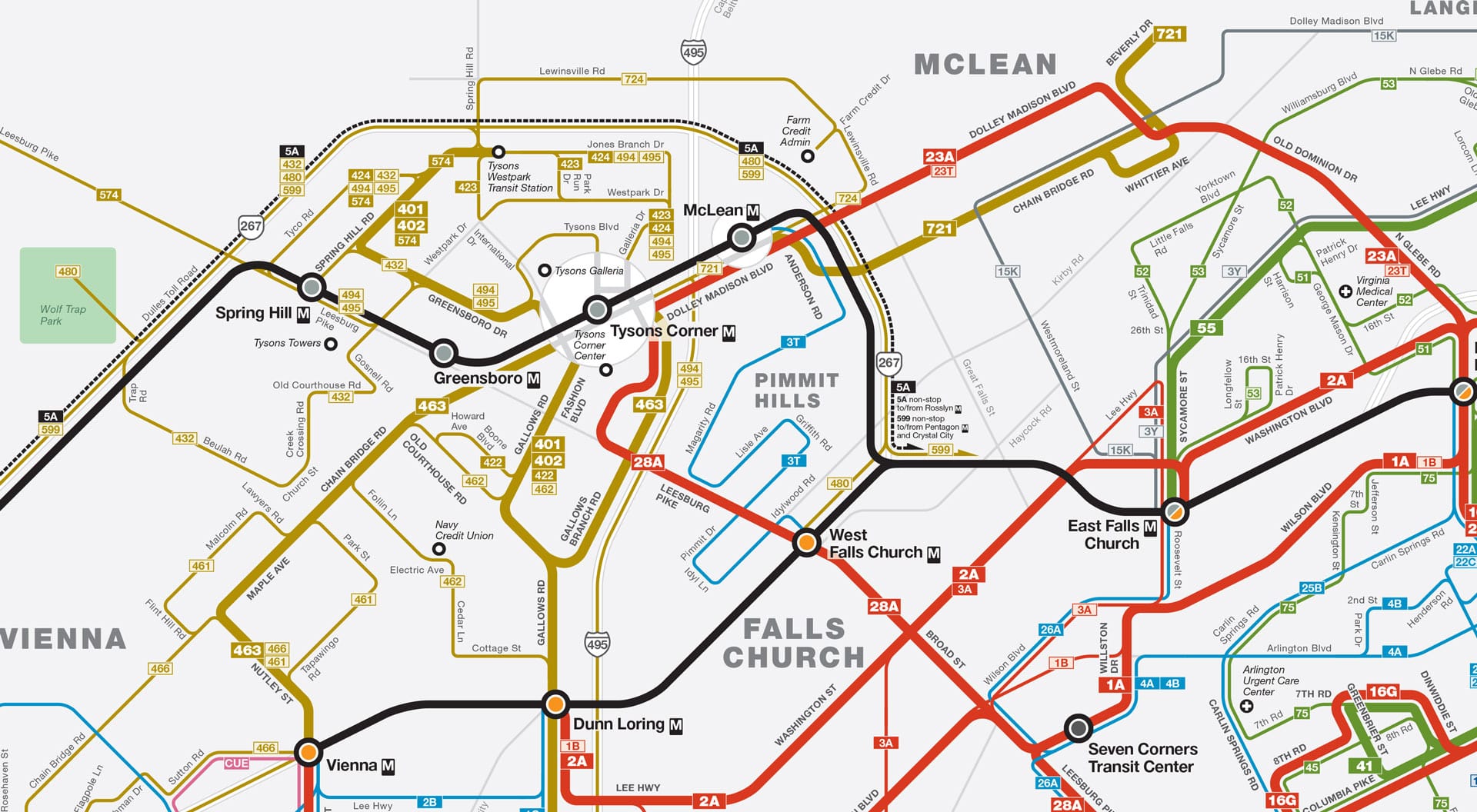
Metro coverage at a glance
If your priority is fast, reliable access to D.C., start by mapping the stations you’ll use most. Arlington’s Rosslyn–Ballston corridor includes Rosslyn, Courthouse, Clarendon, Virginia Square, and Ballston. South Arlington’s National Landing area covers Pentagon City and Crystal City. In Alexandria, the Blue/Yellow Line hubs include King Street–Old Town, Braddock Road, Eisenhower Avenue, and the newer Potomac Yard station.
To compare door-to-door times to your office, use the WMATA Trip Planner. Plug in your likely station and your daily destination to see typical peak-hour times and transfer patterns before you choose a building.
Walk Score and car-free living
Both jurisdictions have pockets where most errands are walkable. You can scan neighborhood-level walkability on the Arlington page at Walk Score and the Alexandria page at Walk Score. Station-adjacent blocks tend to score highest. As you evaluate listings, check the score at the exact address, not just the neighborhood.
Bikes, trails, and buses
If you prefer to bike or mix modes, Arlington and Alexandria both connect to the Mount Vernon Trail for scenic rides and runs along the Potomac. Arlington layers in a strong on-street bike/trail network and frequent local buses, which help bridge first and last mile gaps. Alexandria has expanded bike infrastructure around Potomac Yard and Eisenhower Avenue as redevelopment adds new streets and parks.
Parking reality
In dense, historic, or station-adjacent areas, parking can be limited and controlled by permits or building rules. If you need a dedicated spot, confirm space type, fees, and guest options before you write an offer. If you plan to live car-light, verify building storage for bikes and proximity to Metro or bus lines.
Neighborhood snapshots
Arlington: Rosslyn to Ballston
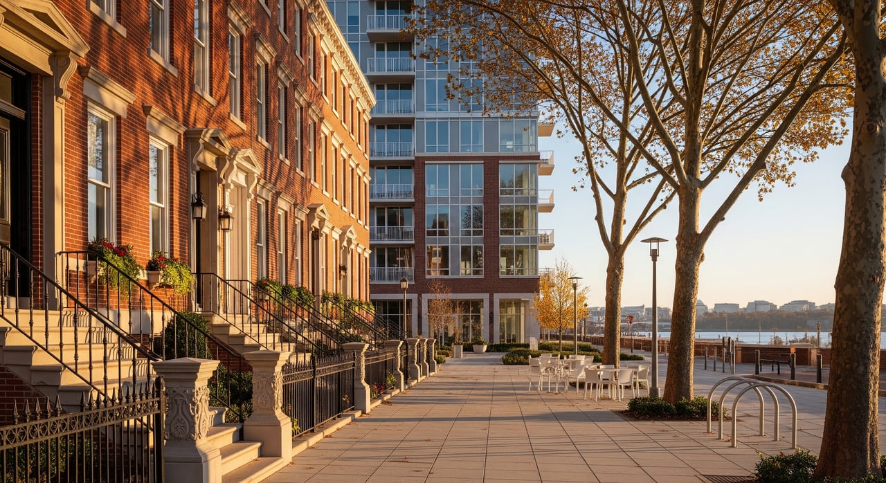
This corridor clusters high-rise condos and apartments around five Metro stops, with dense dining and nightlife in Clarendon and Courthouse and quick train access into central D.C. Inventory here skews condo-heavy, with some townhomes and smaller single-family pockets nearby. It fits if you want short commutes, an active evening scene, and most errands within a few blocks.
Arlington: National Landing
Crystal City and Pentagon City blend strong Blue/Yellow Line access with mixed-use towers, shopping, and proximity to the river. Development activity linked to regional employers has added new housing and amenities. For updates on planned projects and placemaking, review the National Landing Business Improvement District.
Arlington: North Arlington pockets
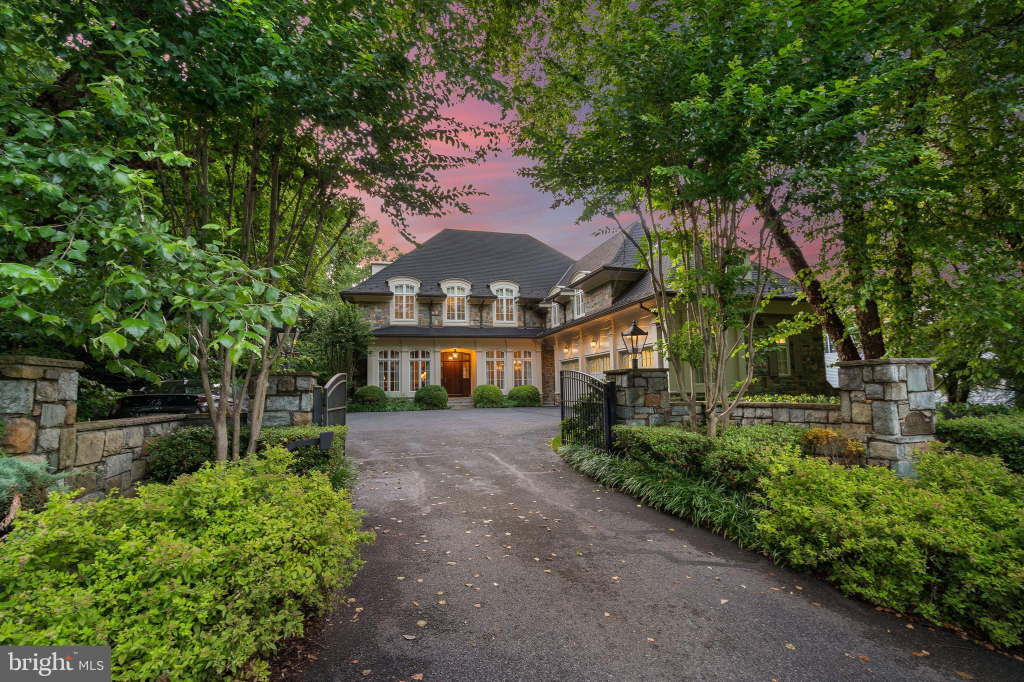
Neighborhoods like Lyon Village, Lyon Park, Cherrydale, and Arlington Forest lean more residential, with tree-lined streets and a mix of townhomes and single-family homes. Many areas still offer walkable access to local shops, parks, and selected Metro stations. If you want a yard while keeping a walkable routine, target blocks near small commercial nodes.
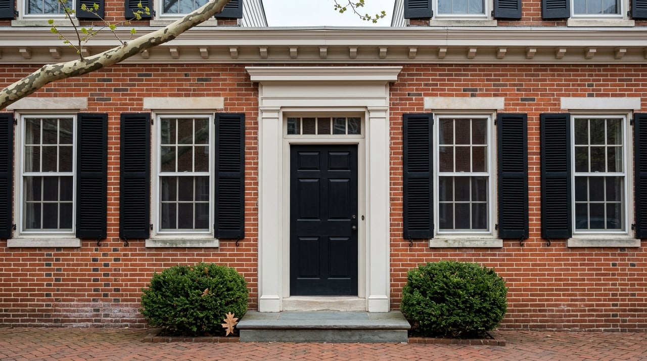
Alexandria: Old Town and King Street
Old Town offers historic streetscapes, a waterfront promenade, boutiques, and restaurants centered on King Street. Housing ranges from preserved rowhouses to older condo buildings and townhomes. Walkability is excellent in many blocks, though parking and narrow streets can require a little planning. The King Street–Old Town station connects you to the Blue/Yellow Lines and regional rail.
Alexandria: Del Ray
Del Ray features a neighborhood main street with local eateries and shops and a strong community feel. Housing is primarily small single-family homes, duplexes, and townhomes, with fewer high-rises than Old Town or Carlyle. It’s a good fit if you value walkable errands and calmer evenings while staying close to transit.
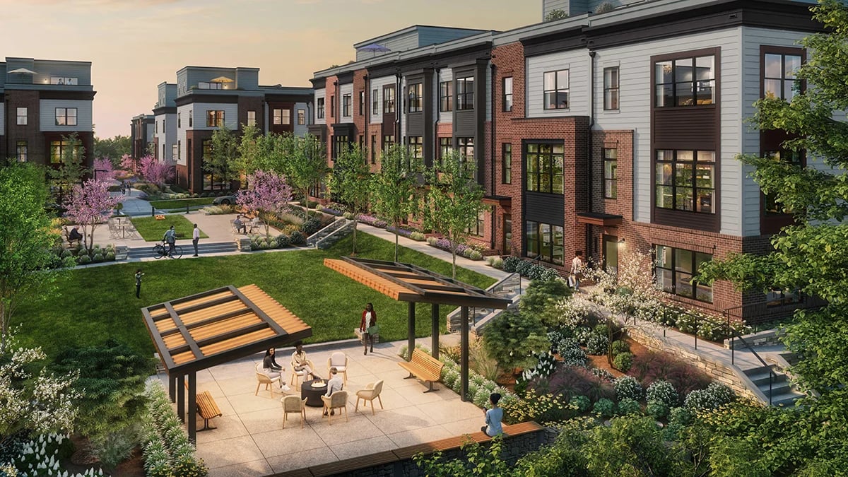
Alexandria: Carlyle, Eisenhower, Potomac Yard
These areas bring newer, denser mixed-use living to Alexandria. Carlyle and Eisenhower include mid- to high-rise condos and offices near two Metro stops. Potomac Yard’s new station improves access and continues to catalyze housing, retail, and parks. Expect modern buildings, structured parking, and growing amenities as redevelopment progresses.
Alexandria: Rosemont and the West End
Rosemont sits near King Street with walkable access to rail, while parts of the West End offer more single-family choices and variable walkability depending on the block. If you want more space while keeping grocery and park access close, focus on pockets with nearby retail.
Housing types and budget signals
Condos near stations
In both Arlington and Alexandria, station-adjacent areas are dominated by condos and apartments. These locations often command a premium per square foot in exchange for convenience. If you want elevator buildings, on-site amenities, and minimal maintenance, a condo near Metro may suit your lifestyle.
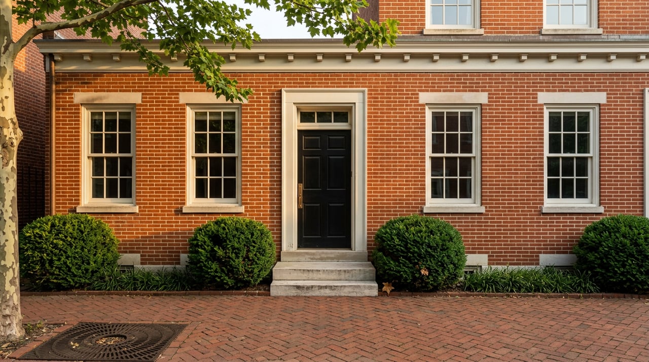
Townhomes and rowhouses
Townhomes are common across both jurisdictions, offering extra space and, in many cases, private entrances and outdoor areas. In Old Town, you will see preserved rowhouses that deliver historic character in a walkable setting. In Arlington and newer parts of Alexandria, you’ll also find modern townhome communities near retail.
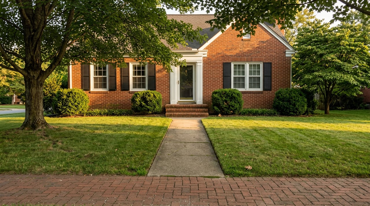
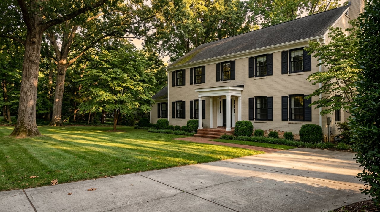
Single-family close-in
Detached homes become more prevalent as you move slightly away from the busiest corridors. North Arlington and sections of Alexandria’s West End and Del Ray area offer single-family options within walking distance of parks and local shops. Expect trade-offs between lot size, commute time, and proximity to Metro.
Fees, rules, and resale
For condos and many townhomes, factor in monthly fees and review documents closely. Pay attention to:
- HOA or condo fees and what they cover
- Reserve studies and any planned special assessments
- Rental and owner-occupancy rules
- Parking type and availability
These details affect both your monthly budget and future resale appeal.
Taxes and insurance notes
Arlington County and the City of Alexandria set their own property tax rates and assessments. Check each jurisdiction’s assessor for the current rates and any recent assessment changes. If you are looking near the waterfront or low-lying areas, verify flood zone status on the FEMA Flood Map Service Center and ask your lender about any insurance requirements.
Lifestyle, dining, and green space
Nightlife and restaurants
Arlington’s Rosslyn–Ballston corridor and National Landing offer a dense mix of restaurants and late-evening spots. In Alexandria, King Street’s historic corridor brings boutique dining and shopping, while Del Ray and nearby neighborhoods showcase local businesses and community events. For a flavor of Old Town’s storefront energy, browse the Old Town Business Association.
Parks, trails, and waterfront
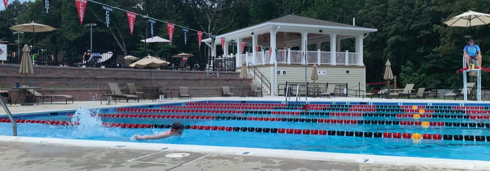
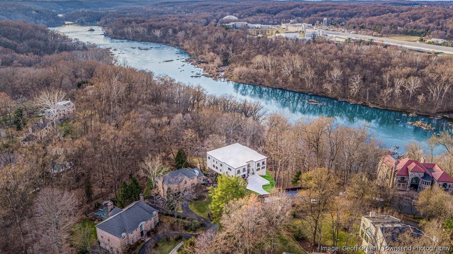
Both areas shine for outdoor access. The Mount Vernon Trail connects parks and waterfront views across Arlington and Alexandria, while neighborhoods layer in pocket parks and athletic fields. Alexandria’s waterfront adds plazas and green spaces, and Arlington’s larger parks add fields, playgrounds, and skyline overlooks in easy reach.
Schools and programs: how to compare
School performance varies by neighborhood and program. To compare public options, start with district sites for Arlington Public Schools and Alexandria City Public Schools, and review state-level data through the Virginia Department of Education. Confirm attendance boundaries for any listing you consider if schooling is part of your decision.
Commutes and future growth
Where you work matters
Your specific workplace location often matters more than small price differences between Arlington and Alexandria. Use the WMATA Trip Planner to model peak-hour rides from target stations to your building. Also factor in bus frequency, bike routes, and whether you need reliable parking.
Big projects to watch
Ongoing development can add new retail, parks, and housing that strengthen walkability. In Arlington’s National Landing, employer-driven investment continues to shape office, residential, and public space improvements, tracked by the National Landing BID. In Alexandria, Potomac Yard’s new station and surrounding projects are expanding a modern, transit-oriented neighborhood with growing amenities.
Quick decision guide
- Choose Arlington if you want many high-rise condo options near multiple Metro stops, a dense nightlife scene along Clarendon–Ballston, or proximity to National Landing employment.
- Choose Alexandria if you prefer historic streetscapes in Old Town, a community-centric main street in Del Ray, or newer mixed-use living in Carlyle, Eisenhower, or Potomac Yard.
- Either is a fit if you want trails and waterfront access, a car-light lifestyle, and a mix of housing types within minutes of D.C.
Your next steps
Use this checklist to narrow your search before touring:
- Time your exact commute during peak hours for at least two station options
- Check Walk Score for the exact address and verify errands within a 5–10 minute walk
- Compare condo or HOA fees, reserves, and any planned assessments
- Confirm parking type, guest options, and any street permit rules
- Verify school boundaries and review public data if relevant to you
- Look up flood zone status and insurance implications
- Scan upcoming projects near the property that could affect traffic, views, or noise
When you are ready to tour the right blocks and buildings, connect with a local advisor who knows the micro-markets and can help you weigh trade-offs with your goals and budget. If you want thoughtful, boutique guidance backed by strong market reach, reach out to Falcone Real to start a plan.
FAQs
How do Arlington and Alexandria compare for Metro access?
- Both offer multiple Blue/Yellow Line stations; Arlington also has the Rosslyn–Ballston string of stops. Use the WMATA Trip Planner to compare actual peak-hour routes.
What are the most walkable areas in each city?
- Arlington’s Rosslyn, Courthouse, Clarendon, Ballston, Pentagon City, and Crystal City score high. In Alexandria, Old Town, Del Ray, Carlyle, Eisenhower, and Potomac Yard have strong walkability. Check address-level scores on Walk Score.
Are condos the best option for a car-light lifestyle near Metro?
- Often yes, since station-adjacent inventory skews condo. Weigh convenience and amenities against monthly fees, parking terms, and the building’s financial health.
How should I compare public schools across neighborhoods?
Should I worry about flood risk near the waterfront?
What development trends could impact values and daily life?
- In Arlington’s National Landing, ongoing investments tied to major employers are adding housing, retail, and public space, per the National Landing BID. In Alexandria, Potomac Yard’s growth is increasing transit access and amenities.